About RouteFinder
George Soules and Janice Kenyon created RouteFinder as a gift to all who love the carriage roads.
Both George and Janice have degrees in Information Science from the University of California at Santa Cruz.
They live in Southwest Harbor on the western side of Mount Desert Island. They walk, run, or bike on the
carriage roads every chance they get.
Please link to RouteFinder from
websites and social media:
websites and social media:
Contact Us
If you have questions about RouteFinder, of if you would like to report a problem or make suggestions,
please send email to:
support@mapsalive.com.
Technology
RouteFinder uses
MapsAlive.
to draw carriage road routes on a national park map of Mount Desert Island.
This RouteFinder website was developed in PHP. The RouteFinder search algorithms were implemented using Python.
Credits
- Map: National Park Service, annotated by AvantLogic.
- Distance and elevation data: Strava
- Drawings: Historic American Engineering Record.
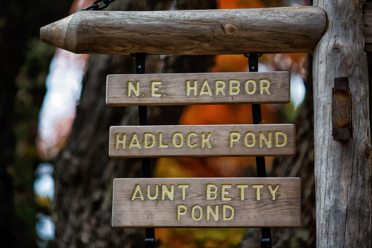
- Photography: George Soules.

